 |
|
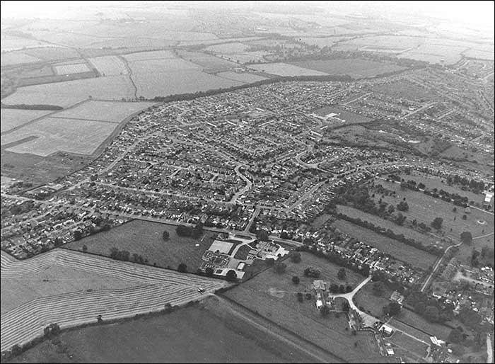
Looking from Wellingborough Road towards the water tower in Irchester Road.
The road in the foreground is the A45 bypass, right bottom corner is the Sanders' Lodge Industrial Estate.
|
 |
|
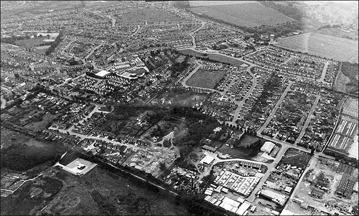
The Melloway Road Estate, with more of the Sanders Lodge Industrial Estate (bottom left)
|
 |
|
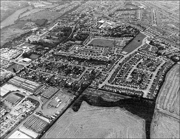
Looking from Wymmington Road towards the Irchester Road water tower.
In the foreground centre is South End Schools, and right of that is Rushden Hospital and grounds.
The park land above the Hospital is Rushden Hall Park.
|
 |
|
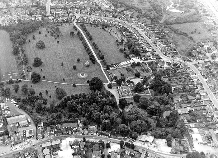
This picture shows most of the Hall Park, with the Hall amongst the trees. In the foreground is High Street South,
and the bottom left corner shows the extensive buildings of Townsends Garages Ltd. (flats there now)
|
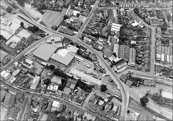 |
1984 : Duck Street - the large building left of centre was just completed for Budgen's. The car park is not finished - it
was formerly part of John Cave's garden that he had turned over to a sports ground for his employees.
The buildings right of centre are the Totector's offices and factory, shortly before they moved out to Crown Park.
|
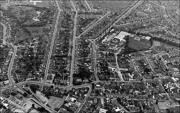 |
Bottom left is Duck Street roundabout, and Wellingborough Road running across. The roads at right angles to it are
(from the left) St Mary's Avenue leading to Hall Avenue, St Margaret's Avenue, Park Avenue, Purvis Road leading into Tennyson Road, Adnit Road, Glassbrook Road, Brookdfield Road and Windmill Road. Note the large complex that was
the Boys' Secondary School, later called the Pemberton School.
|